Around 30 delegates to a British Hydrological Society (BHS) symposium in Oxford took part in a field trip to South Oxford on 24 September. Oxford Flood Alliance member Simon Collings, Richard Harding of the Environment Agency and David Macdonald, hydrogeologist and South Oxford resident, co-hosted the visit, which they helped design.
The delegates had spent two days discussing developments in flood modelling and forecasting in the UK and internationally. Predicting the impacts of flood hazards is complex and takes into account many elements. These include the nature of the catchment, the ground conditions, groundwater levels, surface-water runoff, volume and intensity of rainfall, and sewer infrastructure.
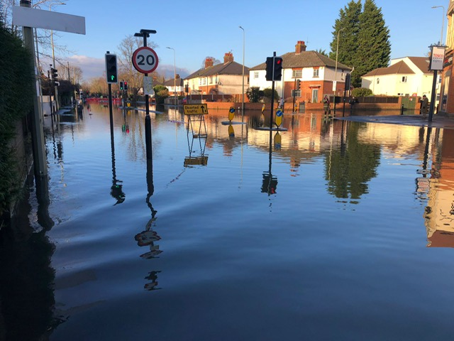
Researchers are working to improve our understanding of each of these components and build integrated models to help better represent what happens during an event. The field visit provided an opportunity to learn about a specific flood-affected community, the measures being taken to reduce flood risk, and to think about the future application of some of the monitoring and forecasting tools presented at the symposium.
One topic of discussion was groundwater monitoring. In South Oxford this is currently very limited, with scope to improve data collection and potential benefits in using river data to indicate the likelihood of groundwater-related flooding. Some work is about to start on this with support from Project Groundwater, a government-funded initiative aiming to fill some of the gaps in our understanding of groundwater flooding. OFA is currently working with Project Groundwater to set up a flood group in the South Oxford area.