
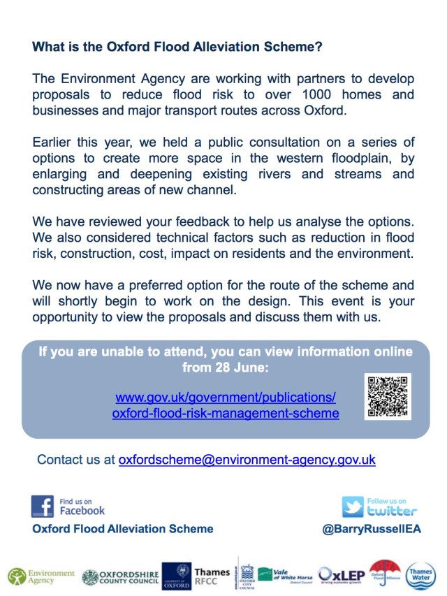
We joined Emma Howard Boyd, Chair of the Environment Agency, the OFAS Project Team and other partners when Emma visited Oxford today. The Public Consultation for the Oxford Flood Alleviation Scheme is due to be launched in two days time, on Friday 23 June.
Tag Archives: Oxford Flood Alleviation Scheme
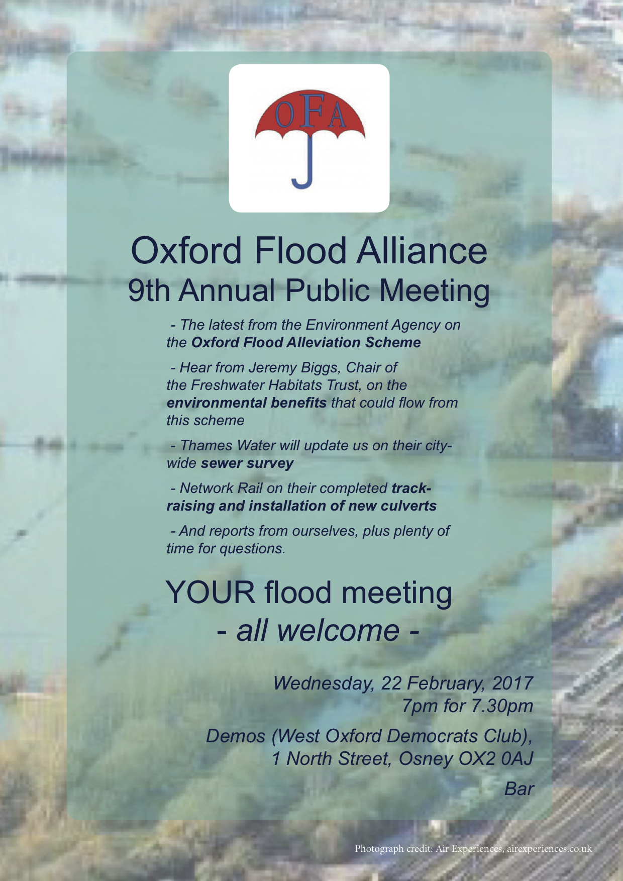
Our Annual Public Meeting, 22 February
Our 9th Annual Public Meeting is on Wednesday 22 February 2017.
There is lots to hear and talk about and everybody is welcome.
Seacourt P&R – Key Point 1: a clash with OFAS?
-
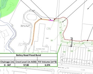
- Showing OFAS bund – in green, behind Botley Road houses, on the right of the plan
-
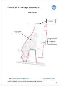
- Showing site of proposed extension, to the right of the area outlined in red
The first image is a part of a plan, from the Environment Agency, of the proposed Oxford Flood Alleviation Scheme (OFAS) north of the Botley Road. This shows (as at 16 September 2016) that a key flood defence bund is planned for that scheme, running through the area where the car park extension is proposed.
The second image shows the area for the proposed extension to the Seacourt P&R.
It is not clear that the bund and the car park extension could co-exist. OFAS will reduce the risk of flooding in Oxford, vital for people and the future prosperity of the city, not least in the face of climate change. The car park extension proposal is flawed in many ways; the plan should be dropped.
See Key Point 2 and Key Point 3
Application by Oxford City Council to extend Seacourt Park & Ride
Application by Oxford City Council to extend Seacourt Park & Ride (Oxford City Planning application no. 16/02745/CT3).
We are strongly opposed to this application to build a car park extension right in the Oxford floodplain.
Our key points are:
Inappropriate development in the floodplain – contrary to Oxford City Council Core Strategy, CS2 – this is a greenfield site. It is also contrary to City Council Core Strategy 11 – it is neither ‘essential infrastructure’ nor ‘a water compatible structure’.
Not consistent with national planning policy framework (NPPF) guidelines.
Inappropriate development in the Green Belt.
A planning application for a similar scheme on the same site was rejected by the Secretary of State in 1999. Planning law has become tighter since.
County Transport Strategy envisages new P&R sites at Cumnor and Eynsham over the next few years; the present proposal is at variance with that. Traffic coming off the A34 and A420 may face increased delays in reaching the P&R.
Flood-risk assessment flawed:
- fails to note the serious floods since 2008
- does not properly consider the frequency with which this low lying site actually floods, which is often (it’s functional floodplain)
- permeable pavement recommended only slows run-off when flood event are so low risk it’s irrelevant. As soon as a significant flood event starts to develop the car park will be under water.
Emergency evacuation plan is inadequate and lacks detail. The site is at high risk of flooding, being 0.5-1 m lower than the existing car park. There is a significant risk to vehicles and people during a flood event: any emergency plan has to be very robust. Extra resources could be needed from already stretched emergency services. In a 1 in 100 flood the water would be 2m deep.
The ground is subject to movement and would require further investigation to see if remediable stabilisation would even work.
The site itself may be damaged by prolonged or severe flooding, even with surfaces broken and swept away. The fences proposed for the perimeter of the 2 ha site, and structures on the site, would be very vulnerable in a large scale flood.
The proposed permeable surface will be impaired by silt and other debris: it will require cleaning which may or may not restore its permeability. After prolonged flooding such paving may even have to be replaced (in early 2014 this site would have been under a significant depth of water for several months).
If fences, structures on the site, and cars were swept away they could end up blocking the nearby Seacourt which is a vital flood channel.
The proposal does not take proper account of the latest plans for the Oxford Flood Alleviation Scheme in this area.
The rationale for this extension being needed is that the present car park cannot be given a decking storey because of a covenant on the land. No such covenant has been produced by the applicant and we cannot find one. What there is is a lease agreement, with could potentially be varied by negotiation with the landlord, which could make this whole scheme unnecessary.
Oxford is at risk of flooding. The principle of not building on greenfield sites in the floodplain must be adhered to.
These reasons are set out in more detail in the following documents submitted to the planning authority, Oxford City Council (links download pdfs).
We are working hard to get our message across to the decision makers and to other people who may wish to comment. If you agree with us that this development should not be allowed to go ahead please do say so via the Oxford City planning website or speak to your local City Councillor.
Our “2016” Annual Public Meeting – in Feb 2017
We hold an Annual Public Meeting, which has been in November up to now. This makes it close to the annual Oxford Area Flood Partnership meeting and the two have increasingly overlapped in content. We decided then that our “2016” meeting would be better held later. It will be on Wednesday 22 February 2017 at 7pm for 7.30. The venue as before, the Demos’ Club on Osney Island, Oxford. We will have speakers from the Environment Agency (on the Oxford Flood Alleviation Scheme), Thames Water (on their sewer survey) and Network Rail (on their track raising, waterway clearance and culvert installation). Everybody is very welcome.
Oxford FAS June newsletter
Click here for the June 2016 Oxford FAS newsletter.
Public meeting – Oxford FAS proposed route to be unveiled
The preferred route for the Oxford Flood Alleviation Scheme will be unveiled tomorrow at Oxford Town Hall at a drop-in event open to all.

A talk: Oxford and the Thames – a national hotspot for freshwater wildlife
Later this month, Dr Jeremy Biggs of the Freshwater Habitats Trust will be giving a talk at South Hinksey Village Hall, on Wednesday 29 June at 2pm titled Oxford and the Thames: a national hotspot for freshwater wildlife, in association with the Oxford Flood Alliance.
He’ll look at what makes the Oxford area a national hotspot for freshwater wildlife, what problems freshwaters in the area face and what the solutions are. He’ll consider what the impact of the new flood channel could be and how it could help reverse the century-long decline in the areas freshwaters. There is more information at http://freshwaterhabitats.org.uk/news/oxford-and-the-thames-a-national-hotspot/ or in the flyer Oxford and the Thames_talk flyer_Jun16 FINAL.
The talk is free and anyone may attend but space is limited so if you think you would like to come along please let Jo Fever at Freshwater Habitats know so we can try and ensure there is space for all: info@freshwaterhabitats.org.uk or phone 01865 595505.
Clean Water for Wildlife – II
-
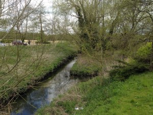
- Northfield Brook
-
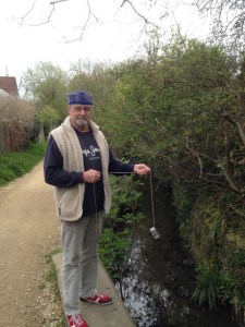
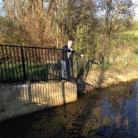
- Nick Hills at Boundary Brook
-
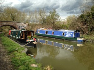
- Oxford Canal
-
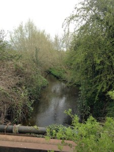
- Littlemore Brook
-
- Elder Stubbs pond
-

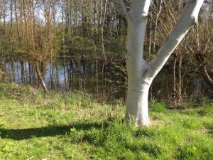
- Pond in Port Meadow by Wolvercote
This study has now closed – we contributed results on samples from 31 locations (a few are shown above) – see previous post Clean Water for Wildlife.
As far as we know, this study, by the Freshwater Habitats Trust, is the first of its kind in the UK.
We’ll post the results when they become available.
Clean Water for Wildlife
-
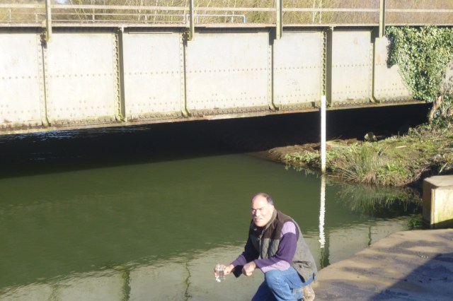
- John Mastroddi taking a sample for the ‘Clean Water for Wildlife’ survey at Munday’s bridge in Kennington
-
- Nick Hills at ditch on Willow Walk
We’ve been lending a hand with the Freshwater Habitats Trust’s ‘Clean Water for Wildlife’ survey. This part of their survey covers the ‘Ock catchment’ which (bizarrely) includes Oxford.
We believe that the Oxford FAS can provide benefits to wildlife alongside the flood risk reduction. Quality of water is important to any such aspiration, so work such as this survey is very important.
Anyone wanting to help can find out more at freshwaterhabitats.org.uk/projects/clean-water.
