Andrew Smith MP has kindly sent us this useful Q & A about Flood Re.
Author Archives: rawcy
Clean Water for Wildlife – II
-
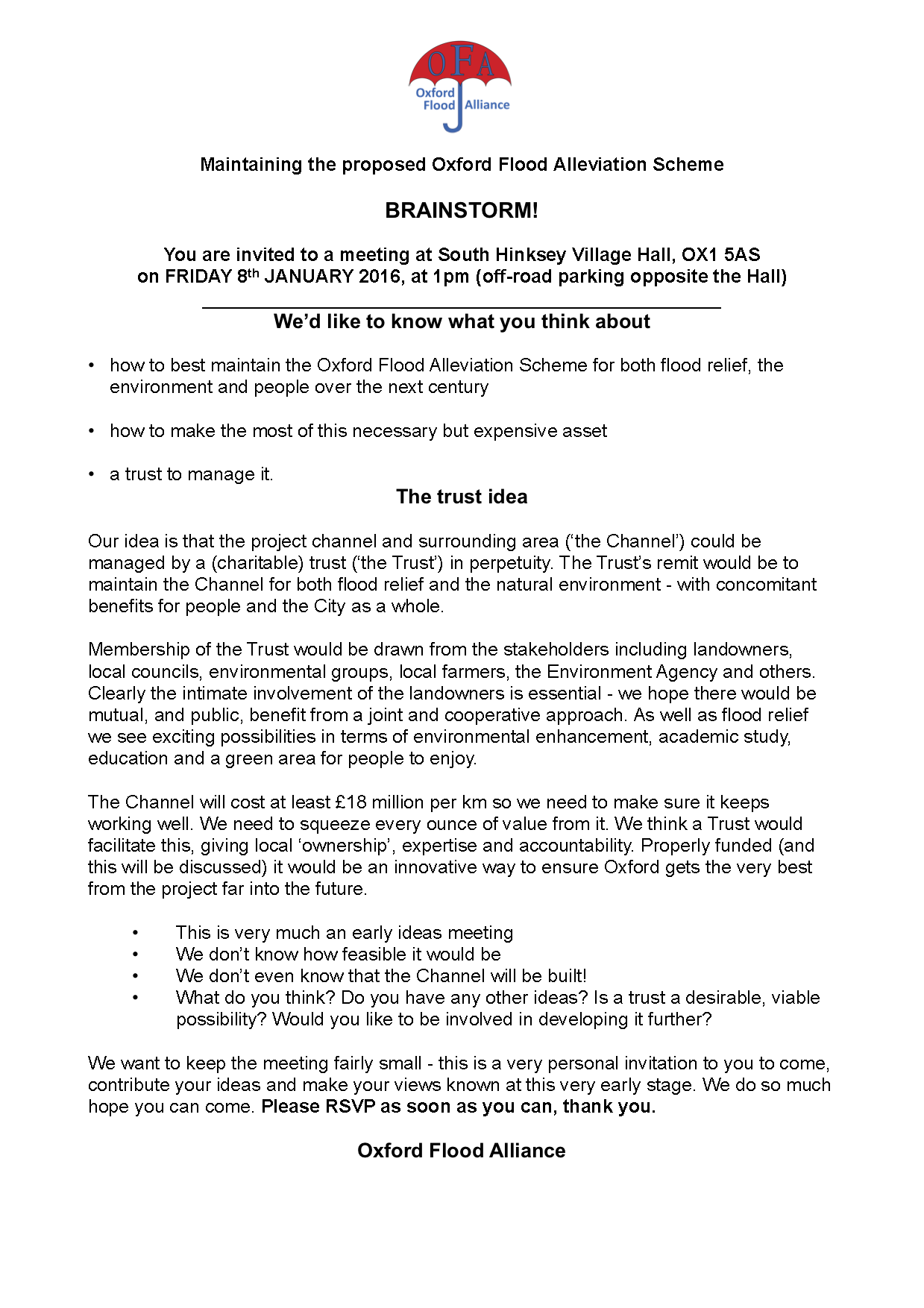
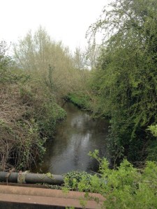
- Northfield Brook
-
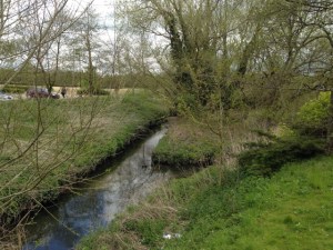
- Nick Hills at Boundary Brook
-
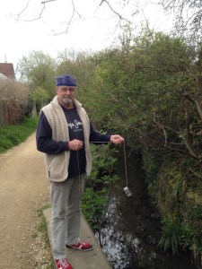
- Oxford Canal
-
- Littlemore Brook
-
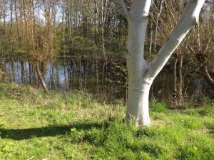
- Elder Stubbs pond
-

- Pond in Port Meadow by Wolvercote
This study has now closed – we contributed results on samples from 31 locations (a few are shown above) – see previous post Clean Water for Wildlife.
As far as we know, this study, by the Freshwater Habitats Trust, is the first of its kind in the UK.
We’ll post the results when they become available.
Further comment on Network Rail’s planning application for track-raising
We submitted our comments on the latest revision (A02) of Network Rail’s flood risk assessment (FRA) for their planning application for track-raising yesterday.
The planning application is number 15/03703 and details can be found on Oxford City Council’s planning portal https://www.oxford.gov.uk/info/20066/planning_applications/328/view_and_comment_on_planning_applications
The application is going to West Area Planning Committee for determination on 3 May at 2 pm at the Town Hall.
See also our earlier post https://oxfordfloodalliance.org.uk/2016/03/28/network-rails-planning-application-for-track-raising/
Flood Re
We welcome the recent launch of the Flood Re insurance scheme, which should ensure every homeowner can get affordable flood insurance for their property, but only if it leads to wholesale changes to the way the insurance industry responds to flood events.
Insurers are being asked to pay into a central fund that will be used to cover the cost of claims made by homeowners affected by flooding. This should mean an end to the sky-high insurance premiums and policy excesses that many of us have had to endure over the years, and will allow people to insure their homes against flooding when previously it was unaffordable. The flip side is that it is likely insurers will pass the cost of the creating the fund onto all their policy holders which will result in an average increase in annual premiums of about £10.50 per household. It is also only available to owner-occupied properties, not those in rental accommodation.
To find out more and to see whether your insurance company have signed up to the scheme please visit http://www.floodre.co.uk.
Although a positve first step, we at OFA would like to see insurers work to reduce the total amount paid out due to flooding by:
- Contributing to local and national schemes that reduce the impact of flooding
- Advising and incentivising homeowners to protect their properties appropriately
- Working with local agencies to ensure adequate response is provided during and immediately after a flood event.
Clean Water for Wildlife
-
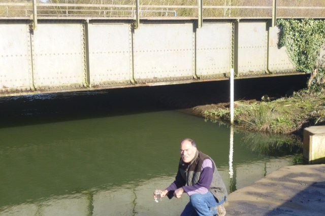
- John Mastroddi taking a sample for the ‘Clean Water for Wildlife’ survey at Munday’s bridge in Kennington
-
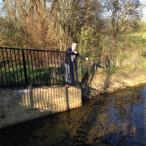
- Nick Hills at ditch on Willow Walk
We’ve been lending a hand with the Freshwater Habitats Trust’s ‘Clean Water for Wildlife’ survey. This part of their survey covers the ‘Ock catchment’ which (bizarrely) includes Oxford.
We believe that the Oxford FAS can provide benefits to wildlife alongside the flood risk reduction. Quality of water is important to any such aspiration, so work such as this survey is very important.
Anyone wanting to help can find out more at freshwaterhabitats.org.uk/projects/clean-water.
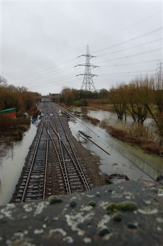
Network Rail’s planning application for track-raising
-
- Mainline at Redbridge, Jan 2008
-
- Mainline at Redbridge, Jan 2008
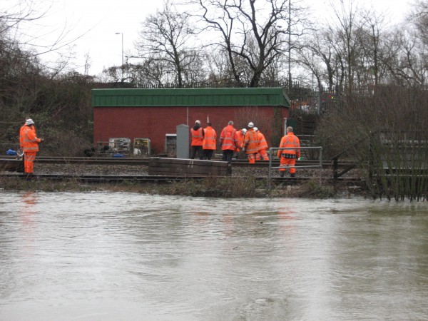
Network Rail (NR) has applied for planning permission in relation to its plan to raise a particularly low area of the mainline track to London, beneath and either side of the old Abingdon Road bridge (Redbridge) near Kennington, to reduce the risk of the line flooding. Doing only this would increase the risk of flooding to the west of the line by raising the height of what is already a dam to the free flow of flood water. So NR propose a new culvert beneath the railway to compensate for this.
We have no objection to this plan in principle, but it must be done properly to ensure that the flood risk to properties and roads is not increased. If the mitigating culvert is too big areas to the east would be affected, too small and those to the west would suffer.
NR then need to convince the planning authority that their proposal gets the balance right and does not increase anyone’s flood risk. This is done mainly by modelling of flood flows and levels and reporting the results as part of a Flood Risk Assessment (FRA) which is at the heart of the planning application. This was first submitted in February. We went over this with a fine-tooth comb and found gaps and serious inconsistencies in the data presented. We did not believe that the document allowed the necessary judgement to be made, indeed it raised more questions than it answered. We made a submission to the planning authority, Oxford City Council, suggesting that, on the available evidence, it would be unwise to allow the application. The FRA, our comments, and many other documents can be seen on the council’s planning website – application number 15/03703/FUL. Our comments: OFA comments on 15/03703/FUL – Construction of a culvert.
A revised FRA (Revision AO1) was tabled by NR on 25 February in response to comments made by the Environment Agency to them. Because of the timing this revision did not deal with our questions. We submitted further comments on AO1, reiterating and expanding on key points, on 9 March. We again gave our opinion that the evidence presented in the FRA was such that it could not allow a safe and proper decision to be made. This submission: 15:03703:FUL OFA Comments on the revised FRA (revision AO1, Feb 2016) F
After making our second submission to the planners we met with representatives of NR and their advisers. They confirmed that there were indeed the errors we had drawn attention to, in both the original and AO1 revision of the FRA. They said they had identified the reason for these errors and explained this. We understand that they will be filing a further revision, plus an amended version of an associated document, GRIP3, which is referred to in the FRA.
We have discussed our concerns with the planning officer at the Council who has been helpful and attentive to our arguments. A decision on the application has now been deferred to allow time for the revised documents from NR to be reviewed by the public and by Council planning staff.
Postscript: we were later asked to review the maps associated with the FRA, to compare what the model suggested with what we know ‘on the ground’. Our comments: 15:03703:FUL – OFA Review of flood model maps.
Our comments on the Oxford Flood Alleviation Scheme route options
We have submitted comments on the route options for the Oxford Flood Alleviation Scheme. You can read them here.
Oxford FAS and the Weirs Mill Stream boating community
On 20 February one of us joined local councillors and others on a visit to the residential boat community at Weirs Mill Stream, on the weir pool below Donnington Bridge Road.
Residents are understandably concerned that one of the options (Area 7, Option A) for the Oxford Flood Alleviation Scheme in this part of Oxford would mean them being displaced from their homes for many months, destruction of part of the land where their boats are legally moored and resultant loss of moorings.
There are alternatives which would avoid this: Option C, which crosses open land and would disrupt no one, seems likely to be the best and very likely the cheapest. We therefore oppose Option A.
Northway & Marston Flood Alleviation Scheme Public Information Events
Click the image to enlarge it

Brainstorm meeting: maintaining OFAS
We hosted a meeting today to discuss how we could maintain the Oxford Flood Alleviation Scheme for both flood relief and the environment over the next century. We had an excellent meeting: in attendance were Rodney Rose (County), Chris Brown (County), Bob Price (City). Penny Burt (EA), Emma Formoy (EA), Giles Strother (BBOWT), Jeremy Biggs (Freshwater Habitats Trust), John Mastroddi (OFA), Nick Hills (OFA), Adrian Porter (OFA), Tim Treacher (SOFAG), Rachel Sanderson (OPT), Judy Webb (ecologist and Ashmolean Rare Plants Group), Peter Rawcliffe (OFA), Simon Collings (OFA), Peter Thompson (Civic Society), Peter Lefort (CAG).
The main question: ‘How might we best organise things to keep the channel working well and make the best of all the benefits over the next 100 years?’ There was excellent discussion with the following conclusions:
There was a general agreement with the idea of coordinating management of OFAS, and that this could bring cost savings and enhanced benefits from the scheme.
It is currently unclear what form the coordinating body would take but it is clear that riparian owners will continue to own their land and will be responsible for managing that land. Their participation in the coordinating structure is therefore key.
More detail about exactly what the required maintenance will be, and how this splits across hard physical assets, the stream and the secondary channel is needed before a further discussion.
In the meantime it was agreed that work to consolidate the ecological vision for OFAS was needed. Conversations are already going on with various stakeholders about this and a draft set of ambitions exists. It was agreed that we should build on these.